Spatial intelligence for the built world

See the site.
Know the ground.
Build with certainty.

From field capture to coordinated digital delivery, GeoX connects BIM, GIS, surveying and subsurface intelligence into one reliable project picture.

01 BIM 02 GIS 03 Survey 04 GPR
Scroll

One coordinate truth

Ground reality,
made actionable.

Complex projects do not need more disconnected data. They need accurate information that works together—from what is underground to what is designed, built and operated.

GeoX turns spatial data into coordinated deliverables your teams can confidently use.

Capabilities

Four disciplines.
One clear picture.

Integrated technical services for planning, design, construction and asset management.

01 / BIM

Building Information
Modelling

Coordinated, information-rich models that reveal conflicts early and keep teams aligned through delivery.

  • 3D modelling & multidisciplinary coordination
  • Clash detection & constructability review
  • Shop drawings, as-builts & model auditing
  • 4D sequencing & quantity information
BIM
02 / GIS

Geographic
Information Systems

Structured geospatial data that connects assets to location, condition and operational context.

  • Geodatabase design & asset inventories
  • CAD-to-GIS conversion & data migration
  • Spatial analysis, QA/QC & topology
  • Web maps, dashboards & field workflows
GIS
03 / SURVEY

Surveying &
Reality Capture

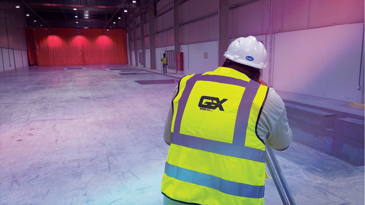
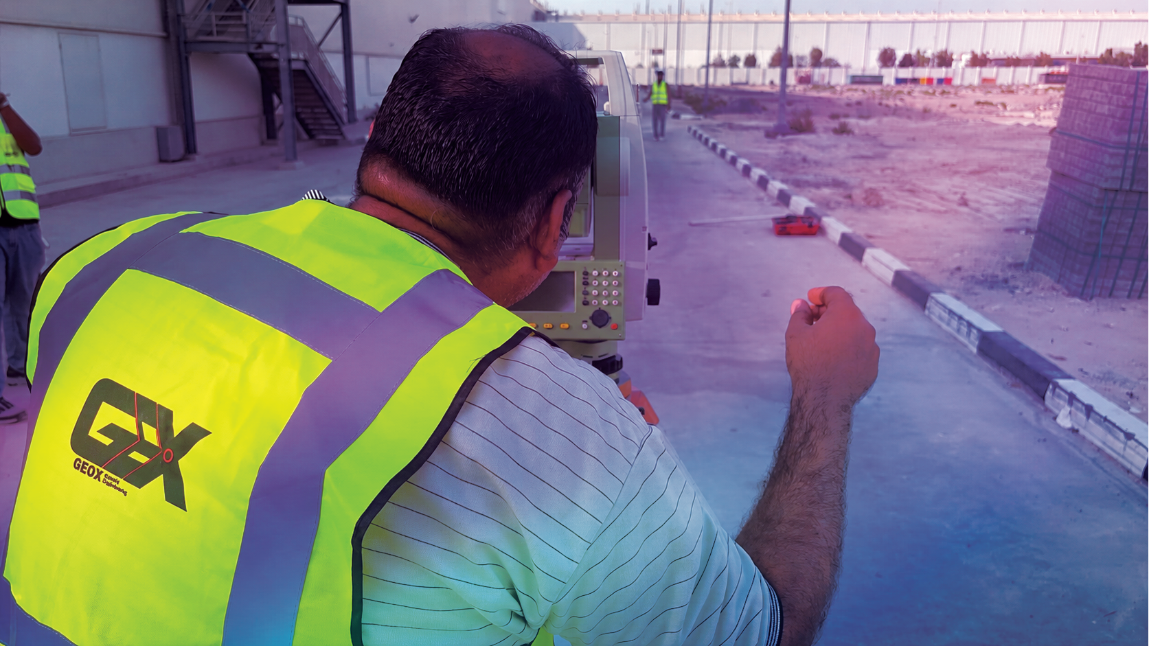
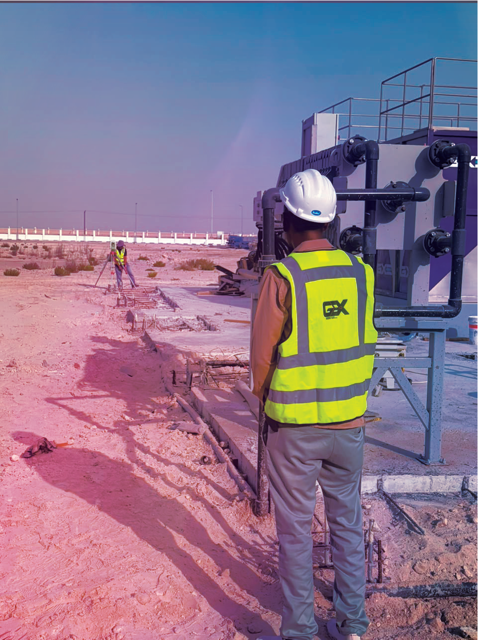
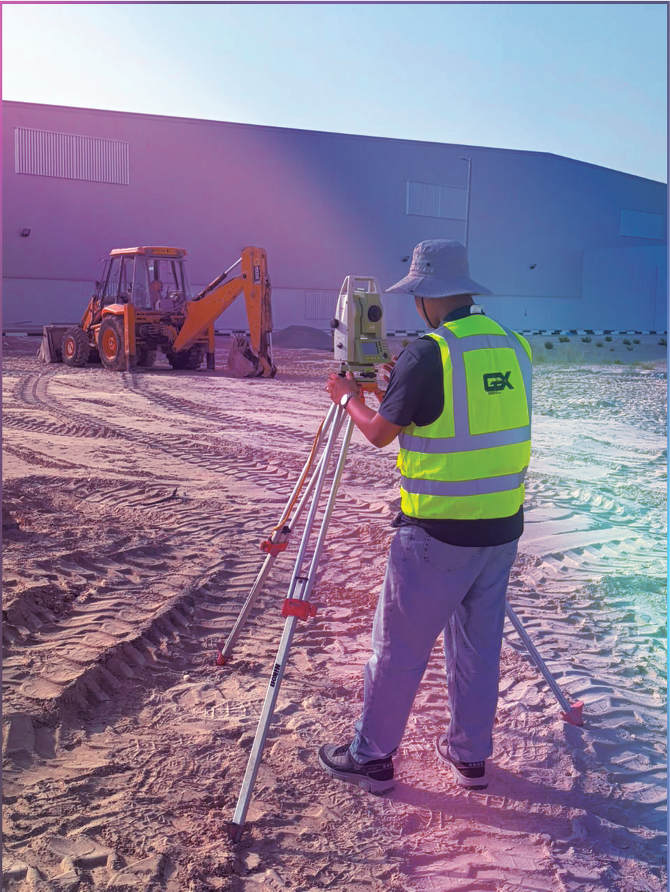
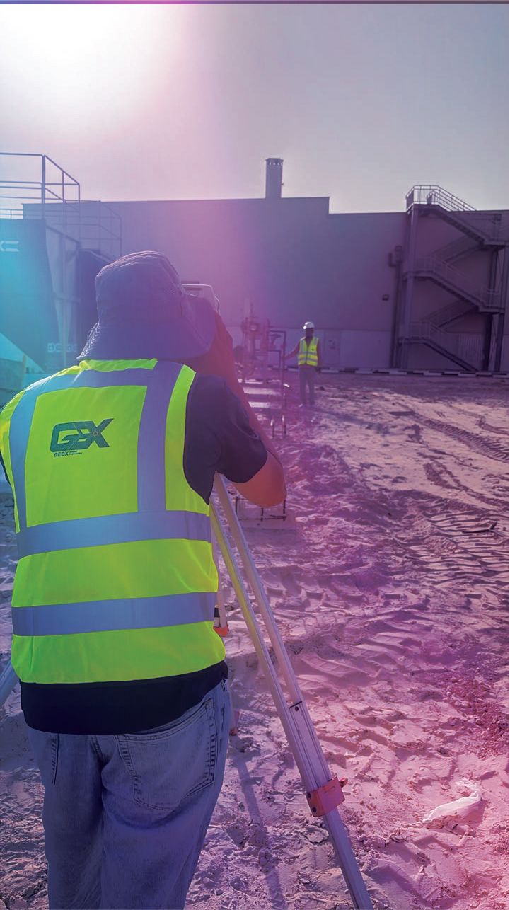
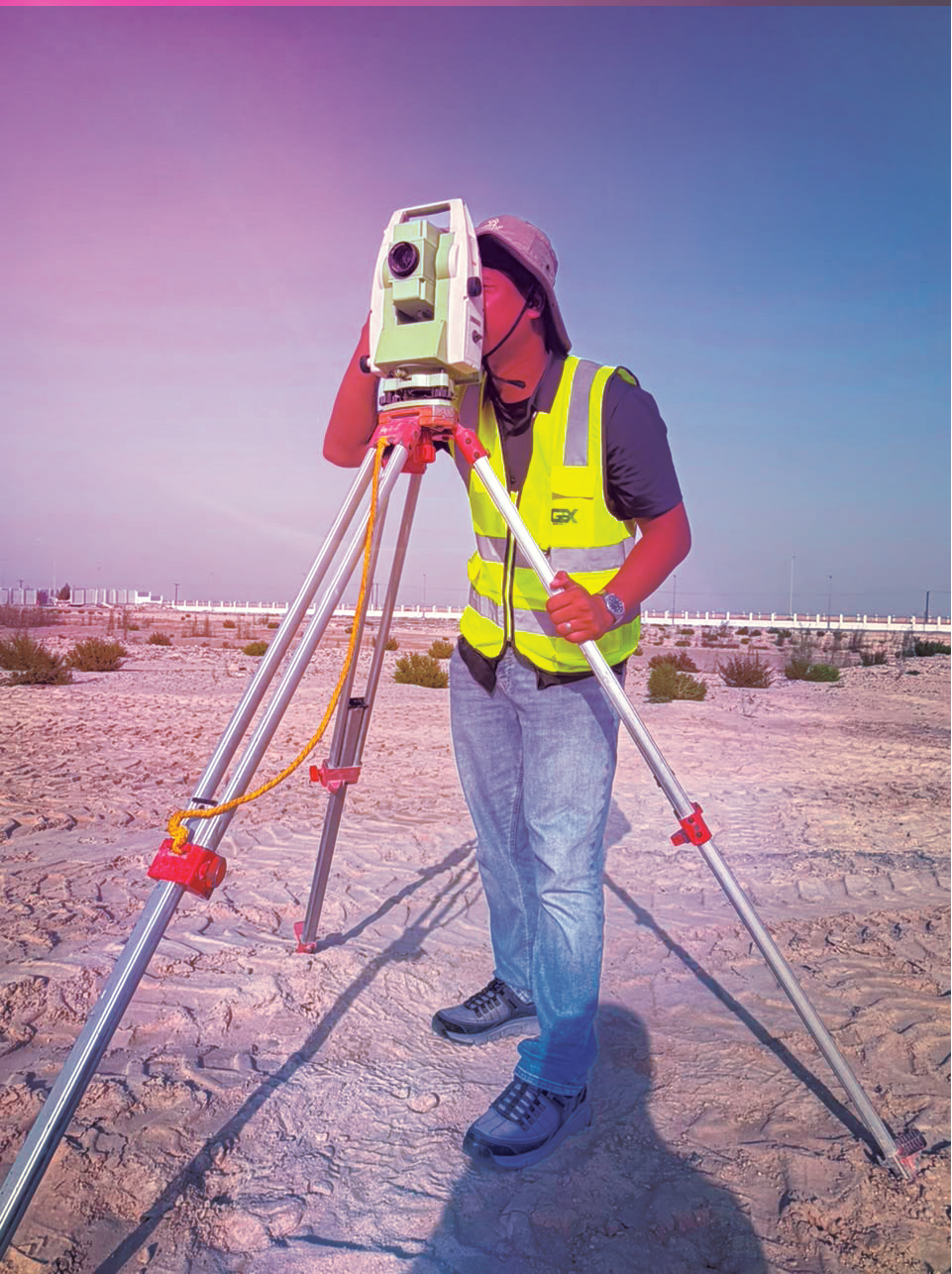
Precise field data that gives design and construction teams a dependable reference from day one.

  • Topographic & engineering surveys
  • Control networks & setting out
  • Utility, as-built & deformation surveys
  • Laser scanning, point clouds & reality capture
SVY
04 / GPR

Ground Penetrating
Radar

Non-destructive subsurface intelligence for safer excavation, investigation and verification.

  • Underground utility detection & mapping
  • Concrete scanning & reinforcement locating
  • Void, anomaly & thickness investigation
  • Site marking, reporting & GIS integration
GPR

Integrated delivery

Every layer,
in its place.

Explore how GeoX connects design models, asset data, measured control and underground intelligence in a shared spatial environment.

N
E 284729.31
N 2684017.88
Spatial layers aligned± 00.008 m

Our approach

From field to
final deliverable.

01

Capture

We measure the physical environment using the right survey and detection technologies.

02

Validate

Field observations and source records are checked, structured and referenced.

03

Coordinate

Models, maps and measurements are aligned into a consistent spatial framework.

04

Deliver

Clear, practical outputs are issued in the formats your project and systems require.

Selected clients

Trusted across the
UAE built environment.

Supporting government, municipal, utility, infrastructure and security-sector requirements with reliable spatial deliverables.

Abu Dhabi City Municipality
DMT / DRM
TAQA Group
TAQA Distribution
TAQA Transmission
TRANSCO
TAQA Water Solutions
TAQA Energy Services
ADSSC
SWS Holding
ADDC
Command of Military Works
Abu Dhabi Police
Roads & Transport Authority

Where we work

Built for complex
environments.

GeoX supports project teams wherever the relationship between assets, design and location matters.

01

Buildings & Developments

Coordinated models, reality capture and construction verification.

02

Infrastructure & Transport

Survey control, corridors, mapping and asset information.

03

Utilities & Municipal Assets

Detection, mapping, geodatabases and field-to-GIS workflows.

04

Industrial & Energy

Existing-condition capture, modelling and safe subsurface investigation.

About GeoX

Accuracy is not
an afterthought.

It is the foundation of every useful model, map and decision.

GeoX Spatial Engineering brings field knowledge and digital delivery together. Our work is designed to reduce uncertainty, improve coordination and give project teams dependable information at the moments that matter.

01 Measured accuracy 02 Open coordination 03 Practical delivery

Careers at GeoX

Build the spatial
future with us.

We are interested in precise thinkers who are comfortable both in the field and in digital environments. Share your CV and tell us where your experience fits.

Send your CV
PROFILES OF INTEREST
01BIM Coordinators & Modellers
02GIS Specialists
03Survey Engineers & Surveyors
04GPR & Utility Survey Technicians
APPLICATION EMAILcareer@g-eox.com

Visit GeoX

Based in the heart
of Abu Dhabi.

Nawat Tower Building No. 3, 6th Floor Al Mawasim Street, Al Hisn Abu Dhabi, United Arab Emirates
Open in Google Maps

Start a project

Tell us what you
need to know.

Share your project, available information and intended deliverables. We will help define the right spatial approach.

By submitting, you agree to be contacted about this enquiry.